


Harrisville Voting District, Simpson County, Mississippi
About
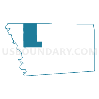
Outline

Summary
| Unique Area Identifier | 606660 |
| Name | Harrisville Voting District |
| County | Simpson County |
| State | Mississippi |
| Area (square miles) | 50.13 |
| Land Area (square miles) | 50.01 |
| Water Area (square miles) | 0.12 |
| % of Land Area | 99.77 |
| % of Water Area | 0.23 |
| Latitude of the Internal Point | 31.98344270 |
| Longtitude of the Internal Point | -90.07851060 |
Maps


Graphs
Select a template below for downloading or customizing gragh for Harrisville Voting District, Simpson County, Mississippi


Neighbors
Neighoring Voting District (by Name) Neighboring Voting District on the Map
- Braxton Voting District, Simpson County, MS
- Fork Church Voting District, Simpson County, MS
- Mountain Creek Voting District, Rankin County, MS
- Pearl Voting District, Simpson County, MS
- Star Voting District, Rankin County, MS
Top 10 Neighboring County Subdivision (by Population) Neighboring County Subdivision on the Map
Top 10 Neighboring Unified School District (by Population) Neighboring Unified School District on the Map
Top 10 Neighboring State Legislative District Lower Chamber (by Population) Neighboring State Legislative District Lower Chamber on the Map
- State House District 60, MS (30,191)
- State House District 62, MS (28,658)
- State House District 77, MS (24,592)
- State House District 91, MS (20,672)